- Inspectial
- Alternatives
- ArcGIS Field Maps
A Field Maps alternative for inspection records
For teams that use ArcGIS Field Maps or Survey123 to inspect culverts, outfalls and BMPs. Field Maps is strong at maps, forms and assigning work; Inspectial turns the inspector's photos, video and voice into coded, evidence-linked findings that a qualified reviewer approves.
Inspectial is pre-launch: we are onboarding pilot teams, starting with culvert and drainage inspections.
The short answer
ArcGIS Field Maps is the better fit when your field work is map-led: finding assets, offline basemaps, assigning and tracking work, utility network tracing. Inspectial fits when the bottleneck is the inspection record itself: it drafts coded findings from each asset's photos, keyframes and voice, links them to evidence, and needs a qualified person's approval before the data goes to your GIS.
Best for
ArcGIS Field Maps
ArcGIS organizations whose crews navigate to assets, collect map data and work from assignments, all inside ArcGIS.
Inspectial
Inspection teams who want each asset's evidence turned into coded findings, reviewed by a person and exported to GIS.
ArcGIS Field Maps vs Inspectial
| Feature | ArcGIS Field Maps | Inspectial |
|---|---|---|
| Built for | Maps to find assets, smart forms, and assigning work in ArcGIS | The inspection record: evidence, coded findings and approval |
| Finding assets | Offline maps, tasks, data capture and utility network tracing | Jobs listed by distance from the phone† |
| Map in the field | Data-driven maps to find assets in the field | A map of nearby assets is planned† |
| Work assignment | Assign, prioritize and assess work directly in ArcGIS | Field jobs created from your asset list; no dispatch or scheduling |
| Forms | Forms configured in the map with Field Maps Designer | Pack template with required evidence per section, set up with you† |
| Offline capture | Full offline capabilities for maps, tasks and data capture | Photos, video keyframes, voice, notes and GPS with no signal† |
| AI in capture | None listed for mobile capture; a beta Arcade assistant in Designer (Feb 2026) | Drafts findings from all of an asset's photos, keyframes and voice† |
| Review and approval | Assess work by assignment; no per-finding approval listed on the overview | Reviewer approves, edits or rejects each finding next to its photos |
| Provenance | Not listed on Esri's Field Maps overview (checked 2026-10-12) | Each value marked ai, edited or verified, with reviewer and time |
| Condition scale and defects | You configure the fields and choice lists | Pack ships the defect list and condition scale (culvert pack today) |
| Integrations | Survey123, Cityworks, Salesforce, Power Automate, webhooks, APIs | GeoJSON, CSV and a read-only REST API with bbox and since filters |
| Write into feature services | Native: data is ArcGIS feature data | Direct push into your ArcGIS feature services is on the roadmap† |
| Users and roles | Esri user types: Mobile Worker collects, Contributor reviews simple edits, Viewer views | Roles, orgs and approver of record are planned† |
| Pricing model | No public price; included with the Mobile Worker user type | Per inspected asset with a platform minimum, not per seat |
† Inspectial is pre-launch. Items marked † are in development or on the roadmap; ask us for current status.
Why inspection teams switch
The form is not the slow part
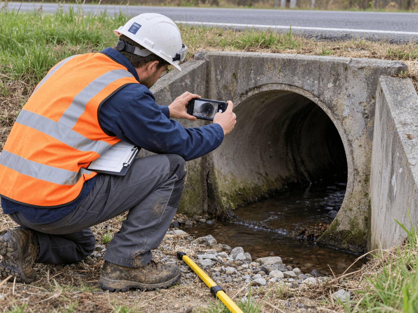
A Field Maps form records what the inspector types. Inspectial drafts the debris, sediment, cracking and scour findings for a culvert from its inlet, barrel and outlet photos and the voice note.
One record per asset, with its evidence
Every finding cites the photos it came from, so a reviewer checking an outfall sees the staining or the broken concrete, not just a value in a field.
A person signs off
Each AI finding waits for a qualified reviewer to approve, edit or reject it. Only approved inspections export.
Your maps stay in ArcGIS
Approved data goes out as GeoJSON and CSV keyed to your asset IDs, ready to load next to your Field Maps layers.
When ArcGIS Field Maps is the better choice
- Your field work is navigation, offline basemaps, utility network tracing or general map editing, not repeat inspections.
- You need to assign, prioritize and track crews in ArcGIS. Inspectial is not building dispatch or scheduling.
- You need it live in production today with many users and roles. Inspectial is pre-launch, and roles are planned.
- Edits must land straight in ArcGIS feature services today, with no import step.
How to switch
- Keep Field Maps for the map workCrews can keep Field Maps for navigation and assignments. Move only the inspection itself, for example culverts or BMPs, to Inspectial.
- Set up the packWe map your inspection fields, condition scale and asset IDs to a pack template with you.
- Load your asset listExport the assets to inspect from your layer as CSV and import them, keyed to your own IDs. Each one becomes a field job. Past inspections can be imported as history.
- Run a pilot routeInspect one route and compare the approved records with what your Field Maps forms produced.
- Load the results backAdd the approved GeoJSON or CSV to ArcGIS next to your existing layers.
Questions
Field Maps or Survey123 for inspections?
In Esri's stack, Field Maps leads with maps, smart forms and work assignment, while Survey123 is a form-centric survey tool with an XLSForm designer and beta AI image analysis. In both, you design the form and the user enters each value. Inspectial is an alternative to both for repeat asset inspections: it drafts the findings from the evidence and a person approves them.
Does Field Maps have AI?
Esri's Field Maps overview lists no AI features. Esri's February 2026 release notes describe a beta Arcade assistant in the Designer web app that writes Arcade expressions from natural-language prompts; no AI for mobile capture is listed.
Can I use Inspectial alongside Field Maps?
Yes. Crews can keep Field Maps for navigation and assignments and use Inspectial for the inspection record. Approved inspections export as GeoJSON and CSV for your ArcGIS layers.
Does Inspectial replace ArcGIS?
No. Inspectial is not a GIS or a mapping platform. It produces approved inspection data that your GIS loads, and a direct push into feature services is on the roadmap.
What does it cost?
Inspectial is priced per inspected asset with a platform minimum, not per seat. Pilot pricing is on request.
Sources
Facts about ArcGIS Field Maps checked on the dates below; last reviewed . Vendors change products often, so check theirs too.
- Esri: ArcGIS Field Maps overview, accessed 2026-10-12
- Esri: What's new in ArcGIS Field Maps (February 2026), accessed 2026-10-12
- Esri: What is ArcGIS Survey123?, accessed 2026-10-12
- Esri: AI in ArcGIS Survey123, accessed 2026-10-12
- Esri: Buy ArcGIS Online (user types), accessed 2026-10-12
See what an Inspectial record looks like
Photos, voice notes and GPS become a structured, map-ready inspection record. Every finding links to its photo, and nothing is official until a person approves it.
- Headwall · surfaceweatheringAI suggested
- Barrel · surfacestainingAI suggested
- Barrel · vegetationmoss at wall baseAI suggested