- Inspectial
- Alternatives
- ArcGIS Survey123
A Survey123 alternative built for field inspections
For inspection teams that run culvert, outfall or BMP inspections in Survey123 forms. Survey123 gives you a form builder and a map; Inspectial turns the inspector's photos, video and voice into coded, evidence-linked findings that a qualified reviewer approves.
Inspectial is pre-launch: we are onboarding pilot teams, starting with culvert and drainage inspections.
The short answer
ArcGIS Survey123 is the better fit for general-purpose surveys inside ArcGIS, public surveys without an app install, and teams on ArcGIS Enterprise on-prem. Inspectial fits repeat asset inspections: it captures evidence offline, drafts coded findings from every photo, keyframe and voice note for one asset, links each finding to its evidence, and makes a qualified person approve it before it exports to your GIS.
Best for
ArcGIS Survey123
ArcGIS organizations that build their own forms and run many kinds of surveys, with data kept in ArcGIS.
Inspectial
Teams inspecting the same asset types again and again who want findings drafted from evidence, then approved by a person.
ArcGIS Survey123 vs Inspectial
| Feature | ArcGIS Survey123 | Inspectial |
|---|---|---|
| Built for | Form-centric surveys of any topic, stored in your ArcGIS org | Asset inspections: evidence in, coded and approved findings out |
| Form authoring | Survey123 Studio (XLSForm), the web designer and Connect | Self-serve template editor is on the roadmap† |
| Template setup | You build and maintain your own forms | We set up the pack template with you, scale and defect list included |
| Offline capture | Mobile app collects while disconnected and uploads later | Photos, video keyframes, voice, notes and GPS with no signal† |
| AI on field photos | Image analysis (beta) is authored in the web designer, used in the web app; uses credits | Drafts findings from all of an asset's photos, keyframes and voice together† |
| AI without a connection | On-device smart assistants work offline; generative image analysis needs a connection | Capture works offline; AI drafts findings after the phone syncs† |
| Reviewing AI output | No per-finding review step listed on Esri's AI page (checked 2026-10-12) | Reviewer approves, edits or rejects each finding next to its photos |
| Evidence and provenance | No evidence links or provenance listed on Esri's AI page (checked 2026-10-12) | Each finding cites its photo IDs; values marked ai, edited or verified |
| Condition scale and defects | You design the questions and choice lists | Pack ships the defect list and condition scale (culvert pack today) |
| Asset records | Creates new records or edits existing ones in ArcGIS | CSV asset import keyed to your IDs, plus import of past inspections |
| Data out to GIS | Native: records are ArcGIS feature data | Approved data as GeoJSON, CSV or a read-only API your GIS loads |
| Write into feature services | Native | Direct push into your ArcGIS feature services is on the roadmap† |
| Reports | Survey123 website: charts, raw data, feature reports, exports | HTML/print report rendered from approved findings |
| Hosting | ArcGIS Online, or ArcGIS Enterprise on your own servers | Cloud only (Cloudflare, US location); no on-prem option |
| Pricing model | No public price; annual ArcGIS user-type licences, AI uses credits | Per inspected asset with a platform minimum, not per seat |
† Inspectial is pre-launch. Items marked † are in development or on the roadmap; ask us for current status.
Why inspection teams switch
The coding moves off the inspector
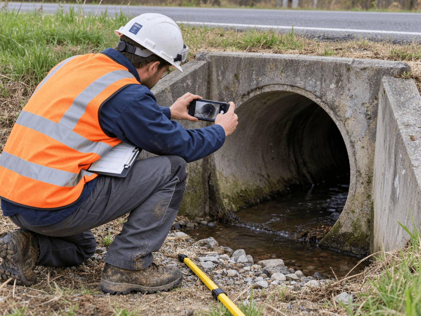
Instead of a GIS tech authoring prompts and questions, the culvert pack reads every inlet, barrel and outlet photo plus the voice note and drafts debris, sediment, cracking and scour findings for the whole asset.
Offline where the culverts are
Outfalls and cross-drains sit where coverage drops. Capture runs with no signal, and the AI works on the full set of evidence once the phone syncs.
A review step built for AI findings
Every drafted finding waits for a qualified reviewer, who sees it next to its photos. Approval is blocked until each one is checked, so nothing AI-only reaches your GIS.
An audit trail without extra fields
Each value carries ai, edited or verified, the reviewer and a timestamp. Blind review lets a reviewer grade before seeing the AI's answer.
Your GIS stays the destination
Approved inspections export as GeoJSON and CSV keyed to your asset IDs, so the condition data still lands in ArcGIS.
When ArcGIS Survey123 is the better choice
- You need a general-purpose survey builder for many topics, or public surveys people answer from a link without installing an app.
- You run ArcGIS Enterprise on-prem and data cannot leave your servers. Inspectial is cloud only.
- You need inspections live in production today with many users and roles. Inspectial is pre-launch, and user roles are planned.
- Your workflow has to write straight into ArcGIS feature services today, not through a GeoJSON or CSV import.
- Your team already maintains its XLSForms, Survey123 comes with your licences, and the forms do the job.
How to switch
- Pick one inspection typeStart with the asset type that costs you the most office time, such as culverts or outfalls, not every survey you run. Survey123 can keep the rest.
- Map your form to a packWe set up the pack template with you: your fields, your condition scale and your asset IDs.
- Load your asset listImport the assets to inspect from CSV, keyed to your own IDs. Each one becomes a field job. Past inspections can be imported too, with the earlier grade kept as the baseline.
- Run a pilot batchInspect a small route, for example 30 culverts or outfalls, and compare the approved Inspectial records with your Survey123 records.
- Bring the data homeLoad the approved GeoJSON or CSV into ArcGIS as you would any other layer.
Questions
Is Inspectial a replacement for Survey123?
For repeat asset inspections, yes: it replaces the capture form and the manual coding step. For general surveys, public questionnaires and non-inspection forms, Survey123 remains a good fit.
Doesn't Survey123 already have AI photo analysis?
Yes. Esri's AI page lists image analysis, text analysis and audio transcription as beta features, authored in the web designer for use in the web app, with image and text extraction using credits. Esri's Q&A says generative image extraction needs a connection, while on-device smart assistants (redaction, annotation, attributes) work offline. Inspectial drafts a whole asset's findings from all of its evidence and sends each one to a reviewer to approve.
Can I keep my ArcGIS layers?
Yes. Approved inspections export as GeoJSON and CSV, and a read-only API serves them, so ArcGIS stays your system of record. A direct push into feature services is on the roadmap.
Does Inspectial work offline?
The field app is built offline-first: photos, video keyframes, voice notes and GPS are captured with no signal and sync later. The AI drafts findings after sync, and nothing is official until a person approves it.
Who sets up the inspection form?
We do, with you, starting from a pack such as culverts or stormwater. A self-serve template editor is on the roadmap but not soon.
What does it cost?
Inspectial is priced per inspected asset with a platform minimum, not per seat. Pilot pricing is on request.
Sources
Facts about ArcGIS Survey123 checked on the dates below; last reviewed . Vendors change products often, so check theirs too.
- Esri: What is ArcGIS Survey123?, accessed 2026-10-12
- Esri: AI in ArcGIS Survey123, accessed 2026-10-12
- Esri: Q&A for introducing GenAI and machine learning in ArcGIS Survey123 (webinar; offline vs connected AI), accessed 2026-10-12
- Esri: Buy ArcGIS Online (user types), accessed 2026-10-12
See what an Inspectial record looks like
Photos, voice notes and GPS become a structured, map-ready inspection record. Every finding links to its photo, and nothing is official until a person approves it.
- Headwall · surfaceweatheringAI suggested
- Barrel · surfacestainingAI suggested
- Barrel · vegetationmoss at wall baseAI suggested