- Inspectial
- Alternatives
- Fulcrum
A Fulcrum alternative priced per inspected asset
For utilities, environmental firms and inspection contractors who run asset inspections in Fulcrum forms. Fulcrum gives you a configurable geo form with voice fill; Inspectial turns the photos, video and voice from each culvert, outfall or pole into coded findings that a qualified reviewer approves.
Inspectial is pre-launch: we are onboarding pilot teams, starting with culvert and drainage inspections.
The short answer
Fulcrum is a mature field operations platform with a no-code form builder, Esri connectivity and Audio FastFill, priced per user with a five-user minimum. Inspectial is pre-launch and built only for inspections: it drafts coded findings from every photo, keyframe and voice note, links each to its evidence and has a reviewer approve it. Pick Fulcrum to build your own apps today; pick Inspectial when coding photos is the bottleneck.
Best for
Fulcrum
Teams that build and maintain their own field apps across many workflows and need a proven platform today.
Inspectial
Inspection teams who want findings drafted from evidence, approved by a qualified person, and priced per asset.
Fulcrum vs Inspectial
| Feature | Fulcrum | Inspectial |
|---|---|---|
| Built for | Field operations: configurable geo forms across many industries | Asset inspections: evidence in, coded and approved findings out |
| Pricing model | $43 or $55 per user/month, annual billing, 5-user minimum | Per inspected asset with a platform minimum, not per seat |
| Offline capture | Yes, works without WiFi or cell signal | Full capture flow works with no signal, syncs later† |
| Form design | No-code builder with conditional logic and required fields | Self-serve template editor is on the roadmap† |
| Template setup | You build and maintain your own apps | We set up the pack template with you, scale and defect list included |
| Voice | Audio FastFill turns speech into form data (Elite and up) | Voice note is transcribed and read with the photos into findings† |
| AI from photos | Photo FastFill "coming soon" in Jul 2025; not on pricing page (checked 2026-10-12) | Drafts findings from all photos, video keyframes and voice per asset† |
| Evidence per finding | Geostamped photos attach to the record | Every finding cites its photo IDs, location and AI confidence |
| Review and approval | Configurable workflows; no per-finding AI approval listed (checked 2026-10-12) | Each AI finding is verified, edited or rejected; only approved data is official |
| Geometry | Points, lines, polygons and GNSS readings | Points today; lines, polygons and parent/child assets planned† |
| Esri integration | Esri partner; ArcGIS Online integration, Enterprise connectivity on Elite | GeoJSON and CSV your GIS loads today |
| Push into ArcGIS | Public and private feature services on Professional and Elite | Direct push into your ArcGIS feature services is on the roadmap† |
| API | Operational, query and webhook APIs from Elite | Read-only REST feed of approved inspections, by bbox and date |
| Reports | PDF reports on Professional and Elite | HTML/print report rendered from approved findings |
| Track record | Nearly 3,000 companies and 50,000 users (vendor figures) | Pre-launch: pilots open, no production customers yet |
† Inspectial is pre-launch. Items marked † are in development or on the roadmap; ask us for current status.
Why inspection teams switch
Photos become coded findings
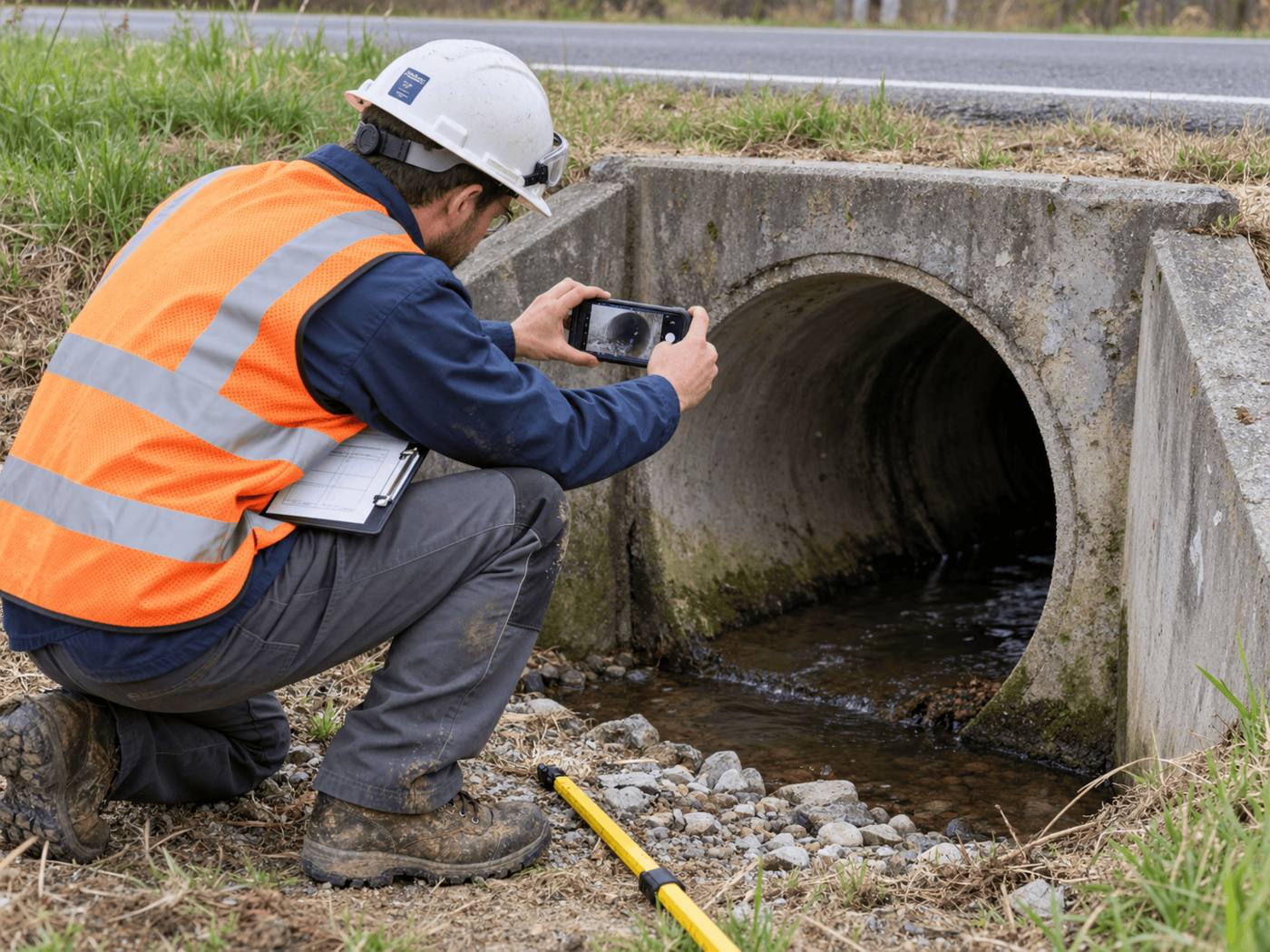
At a culvert, the AI reads the inlet, barrel and outlet photos plus the voice note and drafts sediment, cracking and scour findings. The inspector does not type them into a form.
A reviewer approves every finding
Each AI value is marked ai, edited or verified with the reviewer and time. Approval is blocked until every finding is reviewed, so the dataset you hand over is defensible.
Price follows the work, not the headcount
Seasonal crews, office reviewers and subcontractors don't add seats. You pay per inspected asset, with a platform minimum.
Standards come with the pack
The culvert pack carries the sections, required photos, defect list and condition scale, set up with you. Nobody maintains the form logic.
When Fulcrum is the better choice
- You need a production-ready platform today with thousands of customers behind it; Inspectial is pre-launch.
- You build many kinds of apps yourself, beyond inspections, and want a no-code builder now.
- You map lines and polygons or take GNSS readings in the field.
- Your workflow must connect to ArcGIS Enterprise today.
- Live voice-to-form (Audio FastFill) covers your need and photos are only attachments.
How to switch
- Export your recordsPull your existing inspections and photos out of Fulcrum, with your asset IDs. They can be imported as past inspections, with the earlier grade kept as the baseline.
- Map your form to a packWe set up the pack template with you: your sections, required photos, defect list and condition scale.
- Import your assetsLoad the asset list by CSV, keyed to your own IDs, so field jobs open on the right structure.
- Run a side-by-side batchInspect a set of culverts or outfalls in both tools and compare the approved records and the review time.
Questions
Is Inspectial a Fulcrum replacement?
For repeatable asset inspections, yes: culverts, outfalls and similar structures. For general field apps you build yourself, Fulcrum remains a strong fit. Inspectial is pre-launch, so start with a pilot.
Does Fulcrum have AI that reads photos?
Fulcrum's July 2025 blog announced Photo FastFill as coming soon. As of October 12, 2026, Fulcrum's pricing page did not list it, and its company timeline shows photo-based capture as in progress. Audio FastFill, which turns speech into form data, is live on Elite and up.
How is Inspectial priced compared with Fulcrum?
Fulcrum lists $43 or $55 per user per month, billed annually, with a five-user minimum. Inspectial is priced per inspected asset with a platform minimum, not per seat. Pilot pricing is on request.
Can I keep my GIS?
Yes. Approved inspections export as GeoJSON and CSV, and a read-only API serves them by area and date. A direct push into ArcGIS feature services is on the roadmap.
Who approves the AI's findings?
A qualified person on your team. The AI only drafts and suggests; each finding is verified, edited or rejected, and only approved inspections count as official.
Sources
Facts about Fulcrum checked on the dates below; last reviewed . Vendors change products often, so check theirs too.
- Fulcrum homepage (positioning, customers, offline, form builder), accessed 2026-10-12
- Fulcrum pricing (plans, 5-user minimum, AI and Esri tiers, API), accessed 2026-10-12
- Fulcrum blog: How Fulcrum is building real AI for fieldwork (2025-07-15), accessed 2026-10-12
- Fulcrum company timeline (Esri partner, Audio FastFill, in-progress items), accessed 2026-10-12
- Fulcrum newsroom: strategic vision for agentic AI (2025-07-15), accessed 2026-10-11
See what an Inspectial record looks like
Photos, voice notes and GPS become a structured, map-ready inspection record. Every finding links to its photo, and nothing is official until a person approves it.
- Headwall · surfaceweatheringAI suggested
- Barrel · surfacestainingAI suggested
- Barrel · vegetationmoss at wall baseAI suggested