- Inspectial
- Alternatives
- QField and Mergin Maps
When QField or Mergin Maps stops being enough for inspections
For GIS teams who run culvert, outfall or asset inspections from QGIS projects in QField or Mergin Maps. Both give you QGIS forms in the field at a low price; Inspectial turns the inspector's photos, video and voice into coded findings a qualified reviewer approves, then hands the data back to QGIS.
Inspectial is pre-launch: we are onboarding pilot teams, starting with culvert and drainage inspections.
The short answer
QField and Mergin Maps take QGIS projects into the field: QField is free and open source, Mergin Maps Premium is EUR 15.8 per contributor a month billed annually. Inspectial is pre-launch and built only for inspections: AI drafts coded findings from photos and voice, a reviewer approves each, and GeoJSON loads into QGIS. Stay with them for general GIS collection; add Inspectial when photo coding is the bottleneck.
Best for
QField and Mergin Maps
QGIS teams who design their own layers and forms and want free or low-cost, open-source field collection.
Inspectial
Inspection teams who want findings drafted from photos and voice, approved by a reviewer, and delivered back to QGIS.
QField and Mergin Maps vs Inspectial
| Feature | QField and Mergin Maps | Inspectial |
|---|---|---|
| Built for | Field data collection for QGIS projects, any layer or form | Asset inspections: evidence in, coded and approved findings out |
| Price | QField free (GPL), QFieldCloud sync free to paid; Mergin Premium EUR 15.8/contributor/mo | Per inspected asset with a platform minimum, not per seat |
| Open source and hosting | Open source; Mergin Community edition can be self-hosted | Hosted on Cloudflare; no self-hosting or on-prem |
| Form design | Forms with constraints, logic, defaults and validation, built in QGIS | Self-serve template editor is on the roadmap† |
| Template setup | You build forms and constraints in QGIS | We set up the pack template with you, scale and defect list included |
| Offline capture | Mergin Maps lists offline surveys | Full capture flow works with no signal, syncs later† |
| Positioning accuracy | QField: high-precision location; Mergin Maps: external GNSS receivers | Phone GPS stamped on every photo and finding† |
| Geometry and data model | Your QGIS layers; PostgreSQL integration in Mergin Maps | Points today; lines, polygons and parent/child assets planned† |
| AI from photos and voice | No AI listed on QField's home page or Mergin Maps' pricing page (checked 2026-10-12) | Drafts findings from all photos, video keyframes and voice per asset† |
| Review and approval | Mergin Maps: roles and edit history; no review step listed on its pricing page | Each AI finding is verified, edited or rejected; only approved data is official |
| Evidence per finding | Not listed on the pages checked (2026-10-12) | Every finding cites its photo IDs, location and AI confidence |
| Back into QGIS | Data stays in your QGIS project | GeoJSON and CSV load into QGIS; read-only REST API |
| Track record | QField: used in enterprise settings, per its vendor | Pre-launch: pilots open, no production customers yet |
† Inspectial is pre-launch. Items marked † are in development or on the roadmap; ask us for current status.
Why inspection teams switch
Coding moves out of the office
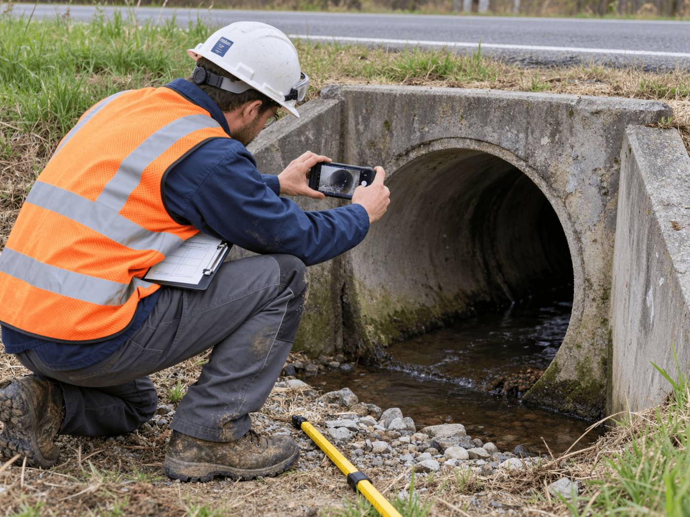
At a culvert, the inspector takes photos and a short voice note. Inspectial drafts the sediment, cracking and scour findings, so nobody re-reads photos in QGIS to fill attribute fields.
Review is built in
Every AI value is marked ai, edited or verified, with the reviewer and time. Approval is blocked until each finding is reviewed.
Standards come with the pack
The culvert pack carries required photos, a defect list and a condition scale. You don't maintain form constraints for each new project.
QGIS stays the destination
Approved findings export as GeoJSON with coordinates and evidence IDs, ready to load as a layer next to your network.
When QField and Mergin Maps is the better choice
- Budget decides: QField is free, and Mergin Maps has free Community, academic and non-profit options.
- You need open source or self-hosting; Inspectial is hosted only.
- You collect general GIS data, not repeatable inspections of one asset type.
- You need survey-grade positioning with an external GNSS receiver, or lines and polygons.
- You want a production-ready tool today; Inspectial is pre-launch.
How to switch
- Keep your QGIS projectYour layers stay where they are. Export the asset layer as CSV with IDs and coordinates.
- Set up the templateWe configure a pack template with you that matches your attribute fields, defect list and condition scale.
- Import your assetsLoad the CSV so field jobs open on your own asset IDs.
- Pilot and load backInspect a batch, approve the findings and load the GeoJSON into QGIS next to your existing layer.
Questions
Is Inspectial a replacement for QField or Mergin Maps?
For repeatable asset inspections it can be: culverts, outfalls and similar structures. For general GIS data collection, QField and Mergin Maps remain a strong fit and cost less. Many teams could use both, with QGIS as the shared destination.
Does Inspectial work with QGIS?
Yes, through files. Approved inspections export as GeoJSON and CSV with coordinates, which QGIS loads as layers. A read-only REST API also serves approved inspections by area and date.
What do QField and Mergin Maps cost?
QField is free and licensed under GPL v2 or later; its QFieldCloud sync service has a free Community plan and paid per-user plans (see qfield.cloud/pricing). Mergin Maps Premium lists EUR 15.8 per contributor per month billed annually, or EUR 19.5 monthly, with a free self-hosted Community edition.
How is Inspectial priced?
Per inspected asset with a platform minimum, not per seat. Pilot pricing is on request.
Does the AI work offline?
Capture works offline: photos, video keyframes, voice, notes and GPS are saved on the phone and sync later. The AI drafts findings after sync, and a reviewer approves them.
Sources
Facts about QField and Mergin Maps checked on the dates below; last reviewed . Vendors change products often, so check theirs too.
- QField home page (positioning, GPL licence, QGIS forms), accessed 2026-10-12
- QFieldCloud pricing (Community plan, paid per-user plans), accessed 2026-10-12
- Mergin Maps pricing (Lutra Consulting; plans, features, Community edition), accessed 2026-10-12
See what an Inspectial record looks like
Photos, voice notes and GPS become a structured, map-ready inspection record. Every finding links to its photo, and nothing is official until a person approves it.
- Headwall · surfaceweatheringAI suggested
- Barrel · surfacestainingAI suggested
- Barrel · vegetationmoss at wall baseAI suggested